Former mineral line, Lynemouth
Introduction
The photograph on this page of Former mineral line, Lynemouth by Richard Webb as part of the Geograph project.
The Geograph project started in 2005 with the aim of publishing, organising and preserving representative images for every square kilometre of Great Britain, Ireland and the Isle of Man.

There are currently over 7.5m images from over 14,400 individuals and you can help contribute to the project by visiting https://www.geograph.org.uk
Former mineral line, Lynemouth
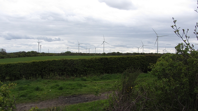
Image: © Richard Webb Taken: 16 May 2012
The track here was once a railway. It is shown as closed on 1940s Ordnance Survey maps.
Images are licensed for reuse under creativecommons.org/licenses/by-sa/2.0
Image Location
Latitude
55.214298
Longitude
-1.549546