One end of Rockmead Road, Fairlight Cove
Introduction
The photograph on this page of One end of Rockmead Road, Fairlight Cove by Robin Webster as part of the Geograph project.
The Geograph project started in 2005 with the aim of publishing, organising and preserving representative images for every square kilometre of Great Britain, Ireland and the Isle of Man.

There are currently over 7.5m images from over 14,400 individuals and you can help contribute to the project by visiting https://www.geograph.org.uk
One end of Rockmead Road, Fairlight Cove
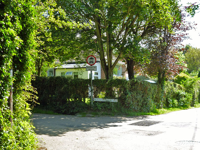
Image: © Robin Webster Taken: 5 Jul 2012
This residential road runs down to near the crumbling cliff top and then parallel with it, with some properties already lost over the cliff. It then returns inland. It is banned to traffic except for access, presumably as the endangered part is closed as a through route and there is nowhere to turn round.
Images are licensed for reuse under creativecommons.org/licenses/by-sa/2.0
Image Location


Leaflet Map data © OpenStreetMap
Latitude
50.877161
Longitude
0.667936