Aqueduct, Oldhay Brook
Introduction
The photograph on this page of Aqueduct, Oldhay Brook by Andrew Hill as part of the Geograph project.
The Geograph project started in 2005 with the aim of publishing, organising and preserving representative images for every square kilometre of Great Britain, Ireland and the Isle of Man.

There are currently over 7.5m images from over 14,400 individuals and you can help contribute to the project by visiting https://www.geograph.org.uk
Aqueduct, Oldhay Brook
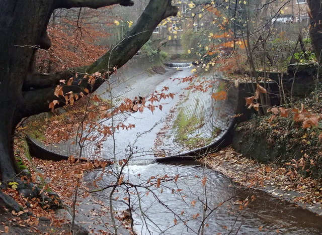
Image: © Andrew Hill Taken: 20 Nov 2012
The aqueduct carries the stream over the railway line a short distance below the eastern end of the Totley tunnel. A series of weirs takes the stream down the valley.
Images are licensed for reuse under creativecommons.org/licenses/by-sa/2.0
Image Location
Latitude
53.31783
Longitude
-1.536574