The Hailsham Foodbank
Introduction
The photograph on this page of The Hailsham Foodbank by Stephen Craven as part of the Geograph project.
The Geograph project started in 2005 with the aim of publishing, organising and preserving representative images for every square kilometre of Great Britain, Ireland and the Isle of Man.

There are currently over 7.5m images from over 14,400 individuals and you can help contribute to the project by visiting https://www.geograph.org.uk
The Hailsham Foodbank
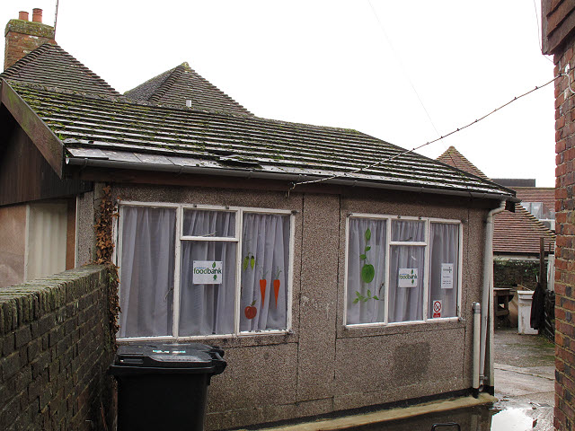
Image: © Stephen Craven Taken: 10 Nov 2012
Foodbanks, usually run by churches or other community groups, are a rapidly growing idea in 2012 as a response to the deep recession. One such appears to operate from this hut. http://hailsham.foodbank.org.uk/
Images are licensed for reuse under creativecommons.org/licenses/by-sa/2.0
Image Location
Latitude
50.862033
Longitude
0.259917