Houses and field, Comber
Introduction
The photograph on this page of Houses and field, Comber by Albert Bridge as part of the Geograph project.
The Geograph project started in 2005 with the aim of publishing, organising and preserving representative images for every square kilometre of Great Britain, Ireland and the Isle of Man.

There are currently over 7.5m images from over 14,400 individuals and you can help contribute to the project by visiting https://www.geograph.org.uk
Houses and field, Comber
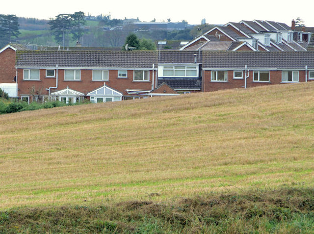
Image: © Albert Bridge Taken: 20 Nov 2012
The view, across the fields, from the corner of the Darragh Road and the Ballyhenry Road, towards the Dermot Road housing. This currently represents the limit of Comber’s development on its north eastern side.
Images are licensed for reuse under creativecommons.org/licenses/by-sa/2.0
Image Location
Latitude
54.559187
Longitude
-5.732565