Ploughed field, Comber
Introduction
The photograph on this page of Ploughed field, Comber by Albert Bridge as part of the Geograph project.
The Geograph project started in 2005 with the aim of publishing, organising and preserving representative images for every square kilometre of Great Britain, Ireland and the Isle of Man.

There are currently over 7.5m images from over 14,400 individuals and you can help contribute to the project by visiting https://www.geograph.org.uk
Ploughed field, Comber
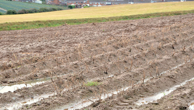
Image: © Albert Bridge Taken: 20 Nov 2012
A ploughed field at the corner of the Darragh Road and the Ballyhenry Road. Very close to Comber (background) but the town has still to spread further in this direction.
Images are licensed for reuse under creativecommons.org/licenses/by-sa/2.0
Image Location
Latitude
54.561567
Longitude
-5.730114