Smeatons Lane, Winchelsea Beach
Introduction
The photograph on this page of Smeatons Lane, Winchelsea Beach by Robin Webster as part of the Geograph project.
The Geograph project started in 2005 with the aim of publishing, organising and preserving representative images for every square kilometre of Great Britain, Ireland and the Isle of Man.

There are currently over 7.5m images from over 14,400 individuals and you can help contribute to the project by visiting https://www.geograph.org.uk
Smeatons Lane, Winchelsea Beach
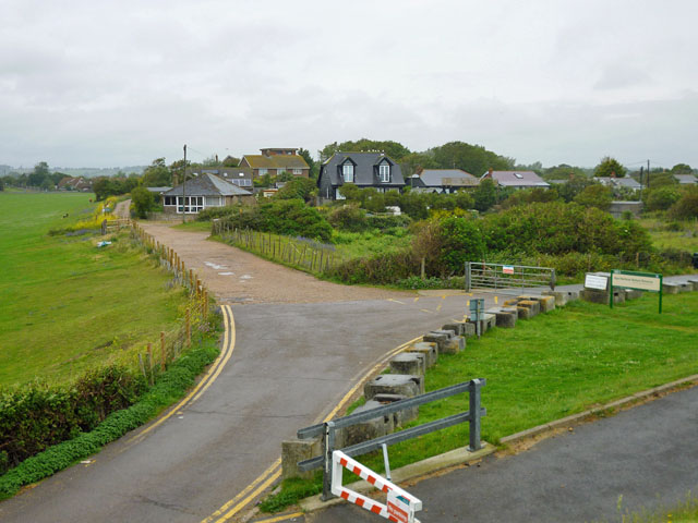
Image: © Robin Webster Taken: 3 Jul 2012
Beyond the tarmac the lane is a private road, but public footpath. The sign on the right is for Rye Harbour Nature Reserve.
Images are licensed for reuse under creativecommons.org/licenses/by-sa/2.0
Image Location


Leaflet Map data © OpenStreetMap
Latitude
50.913826
Longitude
0.727655