Mystery Hill
Introduction
The photograph on this page of Mystery Hill by Richard Croft as part of the Geograph project.
The Geograph project started in 2005 with the aim of publishing, organising and preserving representative images for every square kilometre of Great Britain, Ireland and the Isle of Man.

There are currently over 7.5m images from over 14,400 individuals and you can help contribute to the project by visiting https://www.geograph.org.uk
Mystery Hill
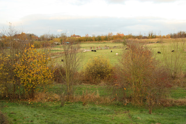
Image: © Richard Croft Taken: 17 Nov 2012
View from the earth bank covering Hockerton Housing Project to the site of the medieval village of Hockerton, marked by the seven standing stones http://www.geograph.org.uk/photo/3230730 in the centre
Images are licensed for reuse under creativecommons.org/licenses/by-sa/2.0
Image Location
Latitude
53.098364
Longitude
-0.929448