The level crossing at Gwinear Road
Introduction
The photograph on this page of The level crossing at Gwinear Road by Rod Allday as part of the Geograph project.
The Geograph project started in 2005 with the aim of publishing, organising and preserving representative images for every square kilometre of Great Britain, Ireland and the Isle of Man.

There are currently over 7.5m images from over 14,400 individuals and you can help contribute to the project by visiting https://www.geograph.org.uk
The level crossing at Gwinear Road
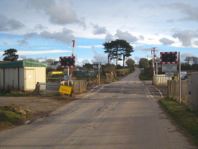
Image: © Rod Allday Taken: 18 Nov 2012
There used to be a station here, the remains of which to the right of the photo are still visible Image
Images are licensed for reuse under creativecommons.org/licenses/by-sa/2.0
Image Location
Latitude
50.197006
Longitude
-5.346657