Linby, NG15 - School
Introduction
The photograph on this page of Linby, NG15 - School by David Hallam-Jones as part of the Geograph project.
The Geograph project started in 2005 with the aim of publishing, organising and preserving representative images for every square kilometre of Great Britain, Ireland and the Isle of Man.

There are currently over 7.5m images from over 14,400 individuals and you can help contribute to the project by visiting https://www.geograph.org.uk
Linby, NG15 - School
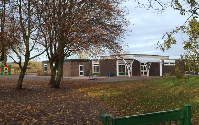
Image: © David Hallam-Jones Taken: 17 Nov 2012
Linby-cum-Papplewick Church of England (Voluntary Aided) Primary offers junior level schooling for approximately 120 pupilS from these neighbouring villages. This pedestrian access point is off Quarry Lane. The former Victorian school building - now owned by the Nottinghamshire Girl Guides Association - lies behind the photographer, between him and Main Street, i.e. the B6011 (Linby-Papplewick) road.
Images are licensed for reuse under creativecommons.org/licenses/by-sa/2.0
Image Location
Latitude
53.056086
Longitude
-1.200553