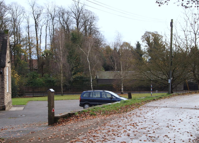
Linby, NG15
Introduction
The photograph on this page of Linby, NG15 by David Hallam-Jones as part of the Geograph project.
The Geograph project started in 2005 with the aim of publishing, organising and preserving representative images for every square kilometre of Great Britain, Ireland and the Isle of Man.
There are currently over 7.5m images from over 14,400 individuals and you can help contribute to the project by visiting https://www.geograph.org.uk

Image: © David Hallam-Jones Taken: 17 Nov 2012
The B6011 road that links Linby and Papplewick - visible in the background of this picture - was taken from Quarry Lane at the point where vehicles and pedestrians enter Hanson House. Although these premises were once a Victorian village school it is now owned and used by the Nottinghamshire Girl Guides Association. The replacement village school is located further up Quarry Lane, behind the photographer, as is the former 14 acre Yellowstone Quarry site. Three businessmen formed "Nottingham Bulwell Stone plc" in 2010 and bought the quarry in order to secure the future supply of Bulwell Stone, something that continues to be in demand in conserving many of Nottingham's Victorian buildings.

