Hanley House, Stroat
Introduction
The photograph on this page of Hanley House, Stroat by Jaggery as part of the Geograph project.
The Geograph project started in 2005 with the aim of publishing, organising and preserving representative images for every square kilometre of Great Britain, Ireland and the Isle of Man.

There are currently over 7.5m images from over 14,400 individuals and you can help contribute to the project by visiting https://www.geograph.org.uk
Hanley House, Stroat
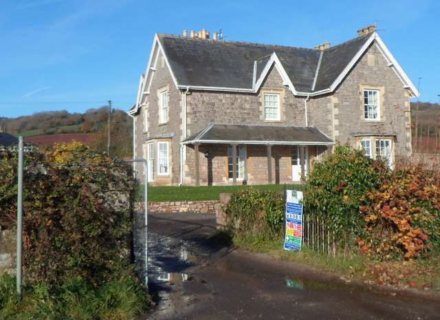
Image: © Jaggery Taken: 18 Nov 2012
Former farmhouse, converted into flats. Located alongside the A48, about 6 miles from Lydney and 3 miles from Chepstow. Hanley Court Business Centre http://www.geograph.org.uk/photo/3230187 is nearby.
Images are licensed for reuse under creativecommons.org/licenses/by-sa/2.0
Image Location
Latitude
51.668374
Longitude
-2.629811