Knars Dale below Hanging Shaw
Introduction
The photograph on this page of Knars Dale below Hanging Shaw by Mike Quinn as part of the Geograph project.
The Geograph project started in 2005 with the aim of publishing, organising and preserving representative images for every square kilometre of Great Britain, Ireland and the Isle of Man.

There are currently over 7.5m images from over 14,400 individuals and you can help contribute to the project by visiting https://www.geograph.org.uk
Knars Dale below Hanging Shaw
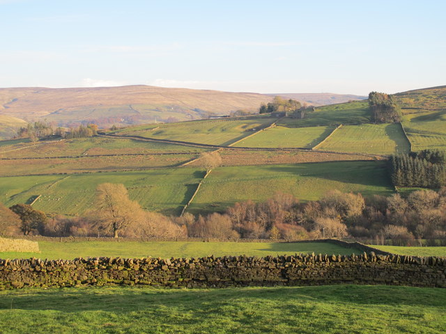
Image: © Mike Quinn Taken: 5 Nov 2012
Looking across the valley towards Highfield House and Bertram Hill. For a similar view in summer (June 2010), see Image (photographed by Les Hull).
Images are licensed for reuse under creativecommons.org/licenses/by-sa/2.0
Image Location
Latitude
54.861857
Longitude
-2.51812