Five Acres (1)
Introduction
The photograph on this page of Five Acres (1) by Simon Carey as part of the Geograph project.
The Geograph project started in 2005 with the aim of publishing, organising and preserving representative images for every square kilometre of Great Britain, Ireland and the Isle of Man.

There are currently over 7.5m images from over 14,400 individuals and you can help contribute to the project by visiting https://www.geograph.org.uk
Five Acres (1)
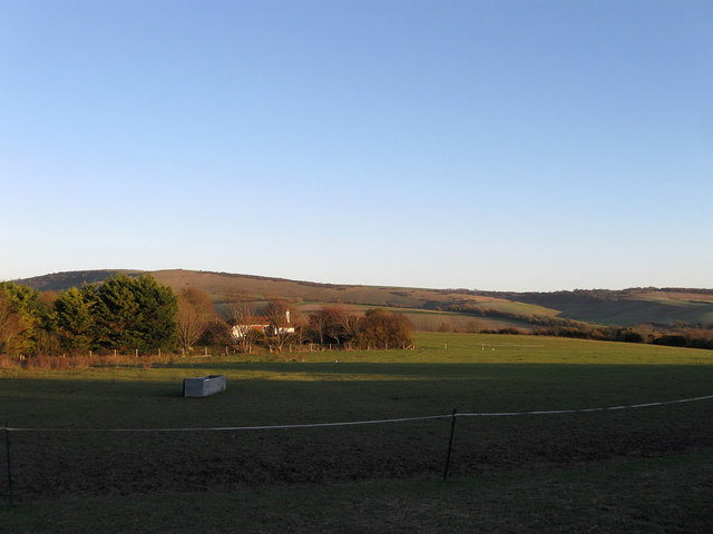
Image: © Simon Carey Taken: 11 Nov 2012
The name of the field according to Alfriston's 1842 tithe map viewed from West Street. The house in the distance is Winton Field Cottage whilst beyond to the left is Windover Hill. See also Image
Images are licensed for reuse under creativecommons.org/licenses/by-sa/2.0
Image Location
Latitude
50.813234
Longitude
0.153362