Bridle path towards Strawberry Hill
Introduction
The photograph on this page of Bridle path towards Strawberry Hill by Antony Dixon as part of the Geograph project.
The Geograph project started in 2005 with the aim of publishing, organising and preserving representative images for every square kilometre of Great Britain, Ireland and the Isle of Man.

There are currently over 7.5m images from over 14,400 individuals and you can help contribute to the project by visiting https://www.geograph.org.uk
Bridle path towards Strawberry Hill
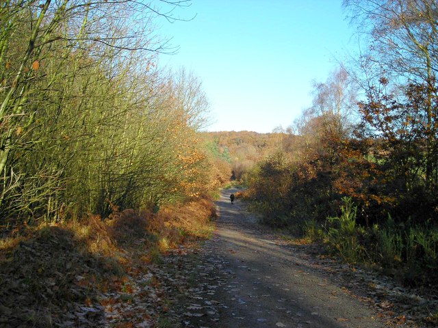
Image: © Antony Dixon Taken: 18 Nov 2012
Strawberry Hill (or Strawberry Knob as it is known locally) is in the centre of the picture. Part of the Strawberry Hill Heath SSSI.
Images are licensed for reuse under creativecommons.org/licenses/by-sa/2.0
Image Location
Latitude
53.132824
Longitude
-1.132019