Smuggler's Way, Rhu
Introduction
The photograph on this page of Smuggler's Way, Rhu by Lairich Rig as part of the Geograph project.
The Geograph project started in 2005 with the aim of publishing, organising and preserving representative images for every square kilometre of Great Britain, Ireland and the Isle of Man.

There are currently over 7.5m images from over 14,400 individuals and you can help contribute to the project by visiting https://www.geograph.org.uk
Smuggler's Way, Rhu
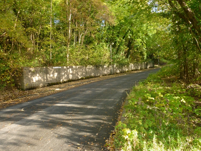
Image: © Lairich Rig Taken: 15 Oct 2012
The road is called Aros Road up to this point, but from about here onwards it is called Smuggler's Way. A cycle path branches off from the road here: Image The road crosses the course of the Aldownick Burn. On the name Smuggler's Way, see the comments on Image, a location further up the glen of that burn.
Images are licensed for reuse under creativecommons.org/licenses/by-sa/2.0
Image Location
Latitude
56.022968
Longitude
-4.782073