Upland overlooking Trevethin and Pontypool
Introduction
The photograph on this page of Upland overlooking Trevethin and Pontypool by Jeremy Bolwell as part of the Geograph project.
The Geograph project started in 2005 with the aim of publishing, organising and preserving representative images for every square kilometre of Great Britain, Ireland and the Isle of Man.

There are currently over 7.5m images from over 14,400 individuals and you can help contribute to the project by visiting https://www.geograph.org.uk
Upland overlooking Trevethin and Pontypool
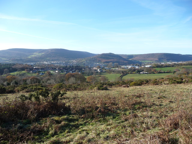
Image: © Jeremy Bolwell Taken: 18 Nov 2012
The industrialised valleys below are now ameliorated and blended into the landscape with attractive moorland above.
Images are licensed for reuse under creativecommons.org/licenses/by-sa/2.0
Image Location
Latitude
51.718254
Longitude
-3.027863