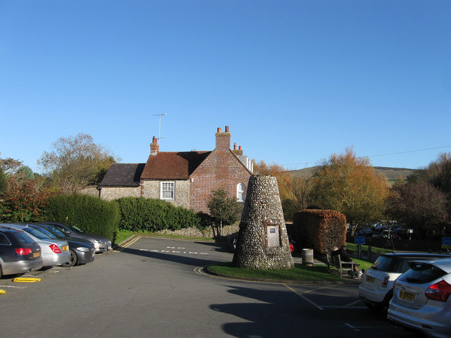
The Denes Car Park
Introduction
The photograph on this page of The Denes Car Park by Simon Carey as part of the Geograph project.
The Geograph project started in 2005 with the aim of publishing, organising and preserving representative images for every square kilometre of Great Britain, Ireland and the Isle of Man.
There are currently over 7.5m images from over 14,400 individuals and you can help contribute to the project by visiting https://www.geograph.org.uk

Image: © Simon Carey Taken: 11 Nov 2012
One of two in the village catering for the large numbers of tourists that visit Alfriston. This one is free though limited to three hours. The other, Image, lies beyond the trees to the right and is pay and display. The conical building is now known as The Flint Tower and seems to have been built as a mock windmill around 1900 when the land here was part of The Denes. However, a round building is marked as a dovecote on the 1876 OS map and for many years was known locally as The Thing as nobody knew its origins. A plaque on the tower now gives its origins though that was not there last time I visited. This was also the site of a former windmill that was marked on Alfriston's 1842 tithe map. The house beyond is Rose Cottage.

