Aerial view Latchley village
Introduction
The photograph on this page of Aerial view Latchley village by Nikkichaplin as part of the Geograph project.
The Geograph project started in 2005 with the aim of publishing, organising and preserving representative images for every square kilometre of Great Britain, Ireland and the Isle of Man.

There are currently over 7.5m images from over 14,400 individuals and you can help contribute to the project by visiting https://www.geograph.org.uk
Aerial view Latchley village
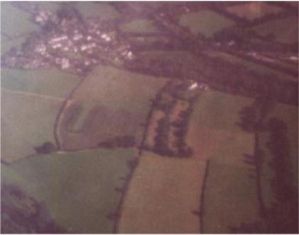
Image: © Nikkichaplin Taken: Unknown
Taken from a small plane over the village in 2000. Note the strip fields centre picture dating back to early English farming methods - all the adjacent fields were once strips as well, but the hedges were ploughed out during the 20th century. Typical nucleated village overlooking fields running to river Tamar.
Images are licensed for reuse under creativecommons.org/licenses/by-sa/2.0
Image Location


Leaflet Map data © OpenStreetMap
Latitude
50.540254
Longitude
-4.248627