Demolition of Kirkcudbright factory
Introduction
The photograph on this page of Demolition of Kirkcudbright factory by Helen Bowick as part of the Geograph project.
The Geograph project started in 2005 with the aim of publishing, organising and preserving representative images for every square kilometre of Great Britain, Ireland and the Isle of Man.

There are currently over 7.5m images from over 14,400 individuals and you can help contribute to the project by visiting https://www.geograph.org.uk
Demolition of Kirkcudbright factory
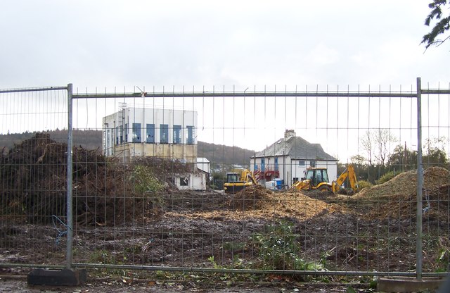
Image: © Helen Bowick Taken: 17 Nov 2012
Having been closed down by Milk Link and sold for housing, demolition has started on the former "Creamery" site
Images are licensed for reuse under creativecommons.org/licenses/by-sa/2.0
Image Location
Latitude
54.840048
Longitude
-4.051976