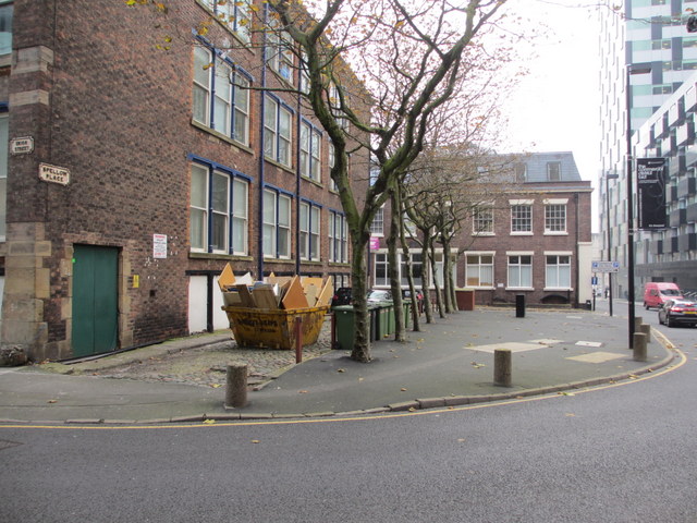
Spellow Place, Liverpool
Introduction
The photograph on this page of Spellow Place, Liverpool by John S Turner as part of the Geograph project.
The Geograph project started in 2005 with the aim of publishing, organising and preserving representative images for every square kilometre of Great Britain, Ireland and the Isle of Man.
There are currently over 7.5m images from over 14,400 individuals and you can help contribute to the project by visiting https://www.geograph.org.uk

Image: © John S Turner Taken: 15 Nov 2012
Spellow Place is the cobbled lane below the skip that links Union Street and Fazakerley Street, and it is a rare survivor from the 1850 O.S. Town Plan. Even the older looking properties seem to date to a period later than 1850, and they stand side by side with other ultra-modern properties. Union Street now curves round, where buildings once stood, and it links through to Rumford Place, which wasn't a through road until more recently.

