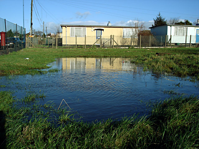
Waterlogged ground
Introduction
The photograph on this page of Waterlogged ground by Linda Bailey as part of the Geograph project.
The Geograph project started in 2005 with the aim of publishing, organising and preserving representative images for every square kilometre of Great Britain, Ireland and the Isle of Man.
There are currently over 7.5m images from over 14,400 individuals and you can help contribute to the project by visiting https://www.geograph.org.uk

Image: © Linda Bailey Taken: 10 Jan 2007
The prefabs on this area of grass were cleared in August 2005. When it rains a large pool forms here (for quite some time after the rainfall), and as far as I know the ground wasn't water-logged previously. Whether this is due to compaction of the earth when the site was cleared or possibly also affected by the redevelopment of the neighbouring sports centre in which the car park now covers a much larger area and drains in this direction.
Image Location


