Hardstoft Road
Introduction
The photograph on this page of Hardstoft Road by Alan Walker as part of the Geograph project.
The Geograph project started in 2005 with the aim of publishing, organising and preserving representative images for every square kilometre of Great Britain, Ireland and the Isle of Man.

There are currently over 7.5m images from over 14,400 individuals and you can help contribute to the project by visiting https://www.geograph.org.uk
Hardstoft Road
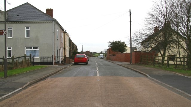
Image: © Alan Walker Taken: 15 Jan 2007
The photograph shows the south-western end of Hardstoft Road from its Junction with Image (behind the viewpoint) and the Five Pits Trail. Just protruding into the left of the picture is a Image To the left the Image continues in a northerly direction toward Locko Lane. To the right there is a Image and the Image continues in a southerly direction toward Tibshelf. To see a more north-easterly (ahead) view of Hardstoft Road, click here Image
Images are licensed for reuse under creativecommons.org/licenses/by-sa/2.0
Image Location
Latitude
53.158075
Longitude
-1.357486