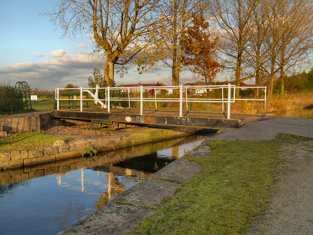
Clockhouse Swing Bridge, Fairfield
Introduction
The photograph on this page of Clockhouse Swing Bridge, Fairfield by David Dixon as part of the Geograph project.
The Geograph project started in 2005 with the aim of publishing, organising and preserving representative images for every square kilometre of Great Britain, Ireland and the Isle of Man.
There are currently over 7.5m images from over 14,400 individuals and you can help contribute to the project by visiting https://www.geograph.org.uk

Image: © David Dixon Taken: 15 Nov 2012
Bridge #15 on the Ashton Canal is this swing bridge at Fairfield. It takes the path from Copperas Lane, on the southern side of the canal, to the playing fields on the northern side. Droylsden had two 'Clockhouses', so the workers could know when it was time to awake for their toil in the mills. The north clockhouse was on Greenside Lane overlooking the Medlock Valley. The south clockhouse was near here at Yew Tree Farm, close to the Moravian Settlement. Apparently (http://homepage.ntlworld.com/william.mcdonald7/droylsden.htm All About Droylsden) there were only five clockhouses in the whole of Britain and Droylsden had two of them. Sadly they were allowed to disappear before their importance was realised.

