B7052 near Sloehabbert
Introduction
The photograph on this page of B7052 near Sloehabbert by Oliver Dixon as part of the Geograph project.
The Geograph project started in 2005 with the aim of publishing, organising and preserving representative images for every square kilometre of Great Britain, Ireland and the Isle of Man.

There are currently over 7.5m images from over 14,400 individuals and you can help contribute to the project by visiting https://www.geograph.org.uk
B7052 near Sloehabbert
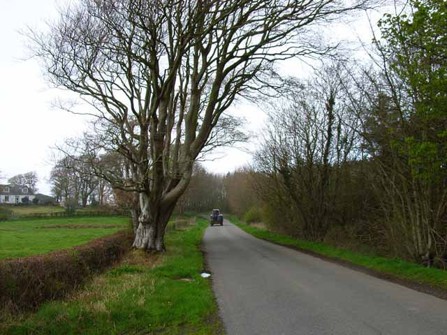
Image: © Oliver Dixon Taken: 1 May 2006
The B roads in the Machars are like country lanes elsewhere.
Images are licensed for reuse under creativecommons.org/licenses/by-sa/2.0
Image Location
Latitude
54.820531
Longitude
-4.489663