Heading across Heldre Hill
Introduction
The photograph on this page of Heading across Heldre Hill by Richard Law as part of the Geograph project.
The Geograph project started in 2005 with the aim of publishing, organising and preserving representative images for every square kilometre of Great Britain, Ireland and the Isle of Man.

There are currently over 7.5m images from over 14,400 individuals and you can help contribute to the project by visiting https://www.geograph.org.uk
Heading across Heldre Hill
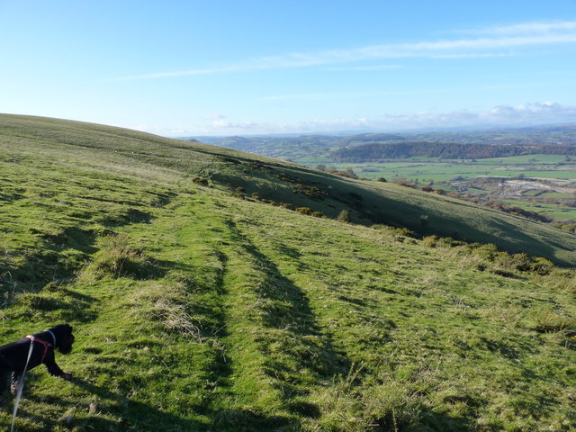
Image: © Richard Law Taken: 11 Nov 2012
Much of this part of the hill is mapped as CROW Access Land, and this sheep-track avoids the need to lose a couple of hundred feet following the footpath down to Brunant and back up. Which is rather handy.
Images are licensed for reuse under creativecommons.org/licenses/by-sa/2.0
Image Location
Latitude
52.676839
Longitude
-3.059543