Above Monksfields Farm
Introduction
The photograph on this page of Above Monksfields Farm by Richard Law as part of the Geograph project.
The Geograph project started in 2005 with the aim of publishing, organising and preserving representative images for every square kilometre of Great Britain, Ireland and the Isle of Man.

There are currently over 7.5m images from over 14,400 individuals and you can help contribute to the project by visiting https://www.geograph.org.uk
Above Monksfields Farm
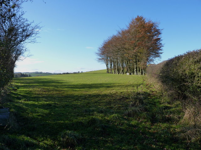
Image: © Richard Law Taken: 11 Nov 2012
Close-cropped grass and beech trees on Long Mountain above Monksfields Farm.
Images are licensed for reuse under creativecommons.org/licenses/by-sa/2.0
Image Location
Latitude
52.675585
Longitude
-3.038658