Footpath leading to Dunkirk Farm
Introduction
The photograph on this page of Footpath leading to Dunkirk Farm by Chris Heaton as part of the Geograph project.
The Geograph project started in 2005 with the aim of publishing, organising and preserving representative images for every square kilometre of Great Britain, Ireland and the Isle of Man.

There are currently over 7.5m images from over 14,400 individuals and you can help contribute to the project by visiting https://www.geograph.org.uk
Footpath leading to Dunkirk Farm
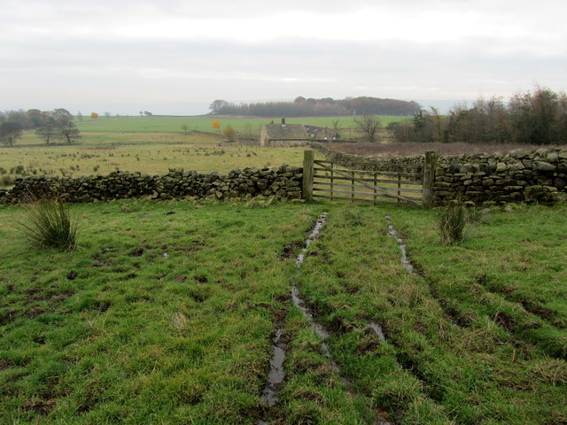
Image: © Chris Heaton Taken: 15 Nov 2012
Such was the juiciness of this pasture, the suction of the mud led me to inadvertently leaving my right boot behind - firmly clamped in ooze. Possibly the wettest pasture in Wharfedale, which conceals a public footpath that leads to the photographed farm of Dunkirk.
Images are licensed for reuse under creativecommons.org/licenses/by-sa/2.0
Image Location
Latitude
53.955135
Longitude
-1.765896