Footpath leading onto Low Round Hill
Introduction
The photograph on this page of Footpath leading onto Low Round Hill by Chris Heaton as part of the Geograph project.
The Geograph project started in 2005 with the aim of publishing, organising and preserving representative images for every square kilometre of Great Britain, Ireland and the Isle of Man.

There are currently over 7.5m images from over 14,400 individuals and you can help contribute to the project by visiting https://www.geograph.org.uk
Footpath leading onto Low Round Hill
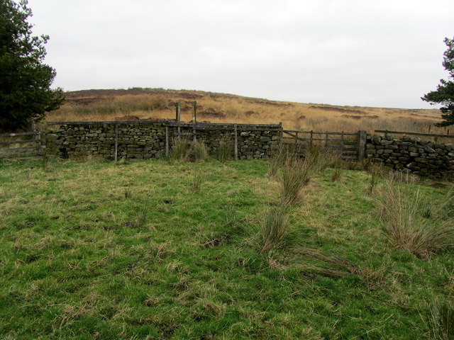
Image: © Chris Heaton Taken: 15 Nov 2012
Public footpath shown on the map, but not evident on the ground crosses a boggy pasture to reach the moor.
Images are licensed for reuse under creativecommons.org/licenses/by-sa/2.0
Image Location
Latitude
53.956572
Longitude
-1.765126