Malden Golf Course in autumn
Introduction
The photograph on this page of Malden Golf Course in autumn by Marathon as part of the Geograph project.
The Geograph project started in 2005 with the aim of publishing, organising and preserving representative images for every square kilometre of Great Britain, Ireland and the Isle of Man.

There are currently over 7.5m images from over 14,400 individuals and you can help contribute to the project by visiting https://www.geograph.org.uk
Malden Golf Course in autumn
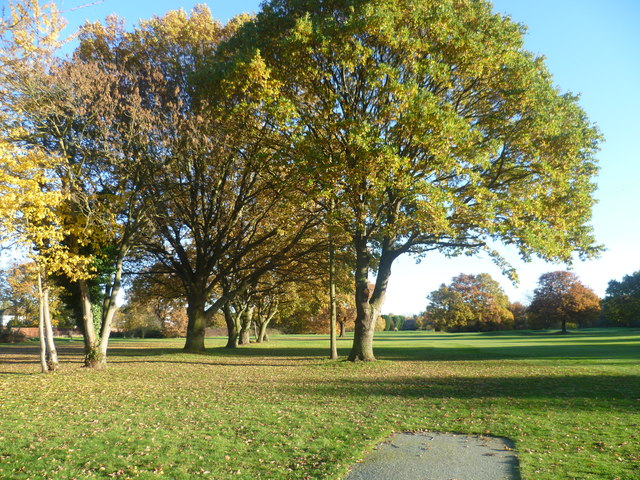
Image: © Marathon Taken: 14 Nov 2012
Malden Golf Course is situated on what was once Norbiton Common, and later became part of Hoppingwood Farm. The name Hoppinge is very old and may be the ancient name for flat land either side of a river (in this case Beverley Brook), perhaps referring to land where hops grew wild. The farm disappeared from maps after 1911. The golf course was opened in 1926. It is bisected by an east-west footpath which connects the A3 Beverley Way with Cambridge Avenue in New Malden. This gives views of the golf course, which is otherwise private. This is the southern part of the golf course, close to the footpath. The Beverley Brook runs through this part of the golf course in the distance.
Images are licensed for reuse under creativecommons.org/licenses/by-sa/2.0
Image Location
Latitude
51.409998
Longitude
-0.249243