
Tarn Close near Crook
Introduction
The photograph on this page of Tarn Close near Crook by Karl and Ali as part of the Geograph project.
The Geograph project started in 2005 with the aim of publishing, organising and preserving representative images for every square kilometre of Great Britain, Ireland and the Isle of Man.

There are currently over 7.5m images from over 14,400 individuals and you can help contribute to the project by visiting https://www.geograph.org.uk
Tarn Close near Crook
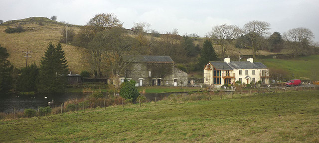
Image: © Karl and Ali Taken: 15 Nov 2012
The public footpath used to run right past this converted farmhouse and is shown thus on the 2002 edition of the map I was carrying today. The large pond is also not featured. By such footpath diversions the county council and National Park authorities ensure that the Great Unwashed are kept safely at a distance. Kerris Hill is the shapely little hill behind (but of course you aren't allowed anywhere near that either).
Images are licensed for reuse under creativecommons.org/licenses/by-sa/2.0
Image Location

Latitude
54.355688
Longitude
-2.829162