Shandon War Memorial
Introduction
The photograph on this page of Shandon War Memorial by Lairich Rig as part of the Geograph project.
The Geograph project started in 2005 with the aim of publishing, organising and preserving representative images for every square kilometre of Great Britain, Ireland and the Isle of Man.

There are currently over 7.5m images from over 14,400 individuals and you can help contribute to the project by visiting https://www.geograph.org.uk
Shandon War Memorial
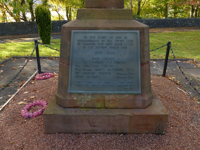
Image: © Lairich Rig Taken: 15 Oct 2012
See Image for the whole memorial in context. The present photograph shows the eastern side of the base, commemorating those who died in the Second World War.
Images are licensed for reuse under creativecommons.org/licenses/by-sa/2.0
Image Location
Latitude
56.028835
Longitude
-4.792929