
The Wells, Cleobury
Introduction
The photograph on this page of The Wells, Cleobury by Jeremy Bolwell as part of the Geograph project.
The Geograph project started in 2005 with the aim of publishing, organising and preserving representative images for every square kilometre of Great Britain, Ireland and the Isle of Man.

There are currently over 7.5m images from over 14,400 individuals and you can help contribute to the project by visiting https://www.geograph.org.uk
The Wells, Cleobury
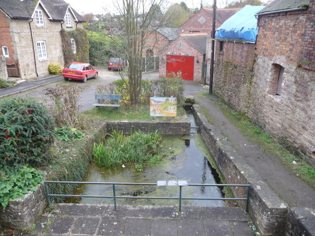
Image: © Jeremy Bolwell Taken: 13 Nov 2012
Once the source of Cleobury inhabitant's water for centuries and now a tourist attraction or point of interest on the main road. The sign describes how a spring wells up here, forming a pool that originally made Cleobury a viable place to make a settlement. Early residents would have come daily with a pail to scoop their drinking water. Apparently waggoners also used to drive their wagons and horses through the pool as a means of swelling their wooden cart wheels and spokes in order to maximise the servicable life of such components, which can't have done much for the water quality, but was not illegal at the time. It was only in Victorian times that attention was paid to the water purity and it was decided that maybe taking water for human consumption from a spring or well issuing from a point immediately below a large and well established cemetery was maybe not the best idea. Burials were restricted to the further side of the cemetery only from the 1880's and the cemetery was closed to new burials from 1895. 'What don't kill ya makes ya stronger' I suppose.
Images are licensed for reuse under creativecommons.org/licenses/by-sa/2.0
Image Location

Latitude
52.379442
Longitude
-2.479459