Notre Dame High School
Introduction
The photograph on this page of Notre Dame High School by Thomas Nugent as part of the Geograph project.
The Geograph project started in 2005 with the aim of publishing, organising and preserving representative images for every square kilometre of Great Britain, Ireland and the Isle of Man.

There are currently over 7.5m images from over 14,400 individuals and you can help contribute to the project by visiting https://www.geograph.org.uk
Notre Dame High School
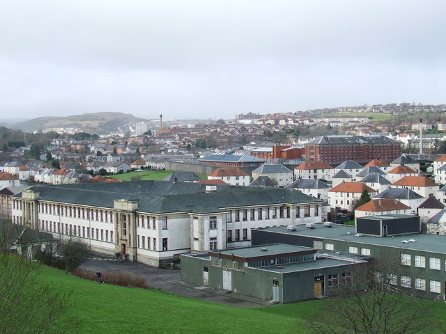
Image: © Thomas Nugent Taken: 27 Jan 2007
View of the rear of the school with HMP Greenock and the suburbs of south west Greenock in the distance. The man convicted of the Lockerbie bombing, is detained in this prison. The school buildings were demolished in July 2009 Image
Images are licensed for reuse under creativecommons.org/licenses/by-sa/2.0
Image Location
Latitude
55.941479
Longitude
-4.776384