Air Quality Monitoring Station
Introduction
The photograph on this page of Air Quality Monitoring Station by The Saunterer as part of the Geograph project.
The Geograph project started in 2005 with the aim of publishing, organising and preserving representative images for every square kilometre of Great Britain, Ireland and the Isle of Man.

There are currently over 7.5m images from over 14,400 individuals and you can help contribute to the project by visiting https://www.geograph.org.uk
Air Quality Monitoring Station
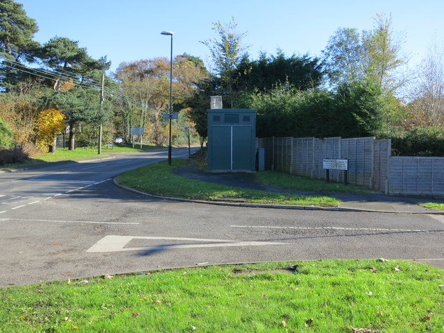
Image: © The Saunterer Taken: 14 Nov 2012
The monitoring station is within a self-contained, air-conditioned housing located on the junction of A283 Manley's Hill and Meadowside. The manifold inlet is approximately 3 metres above ground level and approximately 7 metres distance from the A283. The A283 has an average daily traffic flow of approximately 18,000 vehicles per day. The surrounding area is open suburban.
Images are licensed for reuse under creativecommons.org/licenses/by-sa/2.0
Image Location
Latitude
50.916872
Longitude
-0.449488