Lanchester Valley Railway Path
Introduction
The photograph on this page of Lanchester Valley Railway Path by Oliver Dixon as part of the Geograph project.
The Geograph project started in 2005 with the aim of publishing, organising and preserving representative images for every square kilometre of Great Britain, Ireland and the Isle of Man.

There are currently over 7.5m images from over 14,400 individuals and you can help contribute to the project by visiting https://www.geograph.org.uk
Lanchester Valley Railway Path
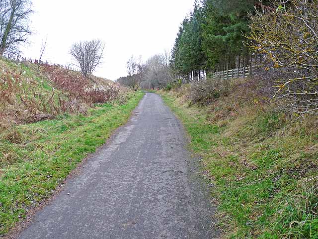
Image: © Oliver Dixon Taken: 13 Nov 2012
For most of its route, Lanchester Valley Path (part of National Cycle Network route 14) follows the line of the old railway from Durham to Lydgetts Junction, here seen just west of Lanchester village.
Images are licensed for reuse under creativecommons.org/licenses/by-sa/2.0
Image Location
Latitude
54.826498
Longitude
-1.753106