Entrance to Holden Farm from the A272
Introduction
The photograph on this page of Entrance to Holden Farm from the A272 by Jim Champion as part of the Geograph project.
The Geograph project started in 2005 with the aim of publishing, organising and preserving representative images for every square kilometre of Great Britain, Ireland and the Isle of Man.

There are currently over 7.5m images from over 14,400 individuals and you can help contribute to the project by visiting https://www.geograph.org.uk
Entrance to Holden Farm from the A272
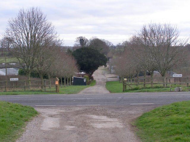
Image: © Jim Champion Taken: 27 Jan 2007
Looking across the A272 road at the entrance to Holden Farm. This is the route of the South Downs Way (a National Trail), which is a bridleway here. The road through Holden Farm is called Holden Lane.
Images are licensed for reuse under creativecommons.org/licenses/by-sa/2.0
Image Location
Latitude
51.038998
Longitude
-1.201374