Cambrian Street Bridge
Introduction
The photograph on this page of Cambrian Street Bridge by David Dixon as part of the Geograph project.
The Geograph project started in 2005 with the aim of publishing, organising and preserving representative images for every square kilometre of Great Britain, Ireland and the Isle of Man.

There are currently over 7.5m images from over 14,400 individuals and you can help contribute to the project by visiting https://www.geograph.org.uk
Cambrian Street Bridge
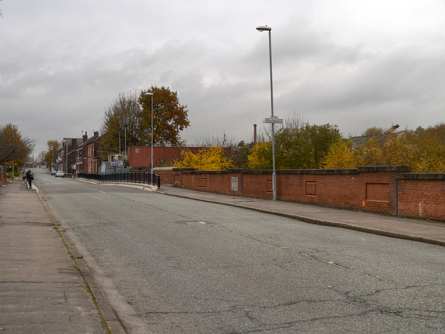
Image: © David Dixon Taken: 14 Nov 2012
Bridge taking Cambrian Street across the River Medlock and the new Metrolink extension. The foundation stone (Image]) dates the bridge to 1886 although the brick walls are obviously newer.
Images are licensed for reuse under creativecommons.org/licenses/by-sa/2.0
Image Location
Latitude
53.484203
Longitude
-2.209578