Woodthorpe flats from Mapperley Rise
Introduction
The photograph on this page of Woodthorpe flats from Mapperley Rise by Richard Vince as part of the Geograph project.
The Geograph project started in 2005 with the aim of publishing, organising and preserving representative images for every square kilometre of Great Britain, Ireland and the Isle of Man.

There are currently over 7.5m images from over 14,400 individuals and you can help contribute to the project by visiting https://www.geograph.org.uk
Woodthorpe flats from Mapperley Rise
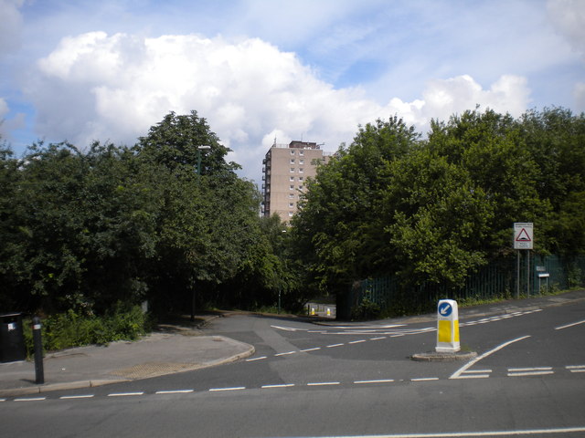
Image: © Richard Vince Taken: 14 Jul 2012
High rise flats are relatively rare in Nottingham, particularly in north Nottingham. This block is one of two at the southern end of Woodthorpe Grange Park, sited where a station on the Nottingham Suburban Railway once was.
Images are licensed for reuse under creativecommons.org/licenses/by-sa/2.0
Image Location
Latitude
52.981392
Longitude
-1.13729