Consett and Sunderland path crossing Knitsley Lane
Introduction
The photograph on this page of Consett and Sunderland path crossing Knitsley Lane by Oliver Dixon as part of the Geograph project.
The Geograph project started in 2005 with the aim of publishing, organising and preserving representative images for every square kilometre of Great Britain, Ireland and the Isle of Man.

There are currently over 7.5m images from over 14,400 individuals and you can help contribute to the project by visiting https://www.geograph.org.uk
Consett and Sunderland path crossing Knitsley Lane
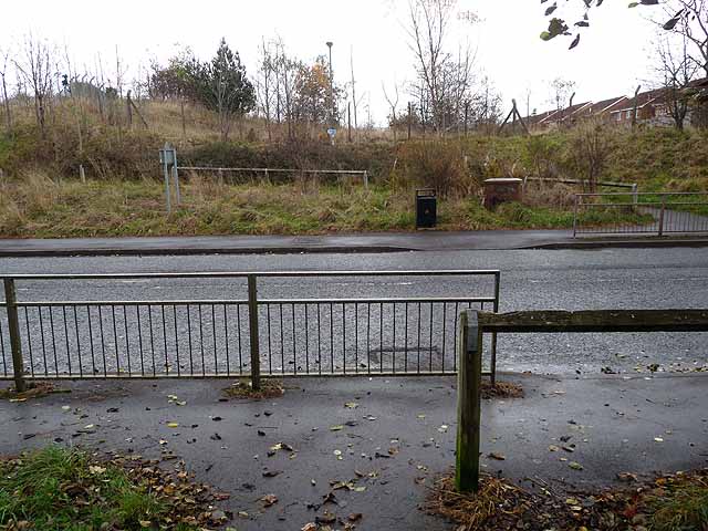
Image: © Oliver Dixon Taken: 13 Nov 2012
The Consett and Sunderland railway path (part of the famous C2C cycle route, National Cycle Network route 7) crossing Knitsley Lane at grade.
Images are licensed for reuse under creativecommons.org/licenses/by-sa/2.0
Image Location
Latitude
54.847841
Longitude
-1.832555