Bulwell (Northern) Cemetery
Introduction
The photograph on this page of Bulwell (Northern) Cemetery by Stephen McKay as part of the Geograph project.
The Geograph project started in 2005 with the aim of publishing, organising and preserving representative images for every square kilometre of Great Britain, Ireland and the Isle of Man.

There are currently over 7.5m images from over 14,400 individuals and you can help contribute to the project by visiting https://www.geograph.org.uk
Bulwell (Northern) Cemetery
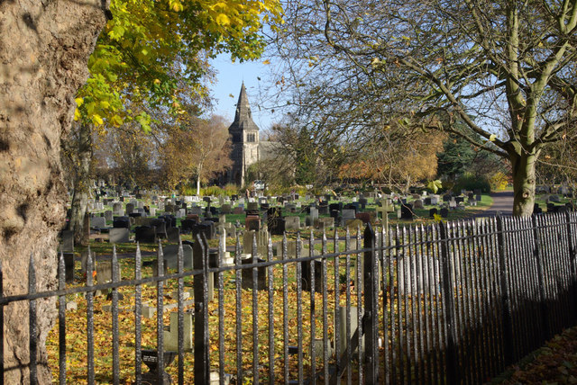
Image: © Stephen McKay Taken: 11 Nov 2012
Looking towards the chapel at the heart of this cemetery that first opened for burials in 1903. The cemetery covers 30 acres.
Images are licensed for reuse under creativecommons.org/licenses/by-sa/2.0
Image Location
Latitude
52.999064
Longitude
-1.209504