A fork in the track, Ewyas Harold Common
Introduction
The photograph on this page of A fork in the track, Ewyas Harold Common by Jaggery as part of the Geograph project.
The Geograph project started in 2005 with the aim of publishing, organising and preserving representative images for every square kilometre of Great Britain, Ireland and the Isle of Man.

There are currently over 7.5m images from over 14,400 individuals and you can help contribute to the project by visiting https://www.geograph.org.uk
A fork in the track, Ewyas Harold Common
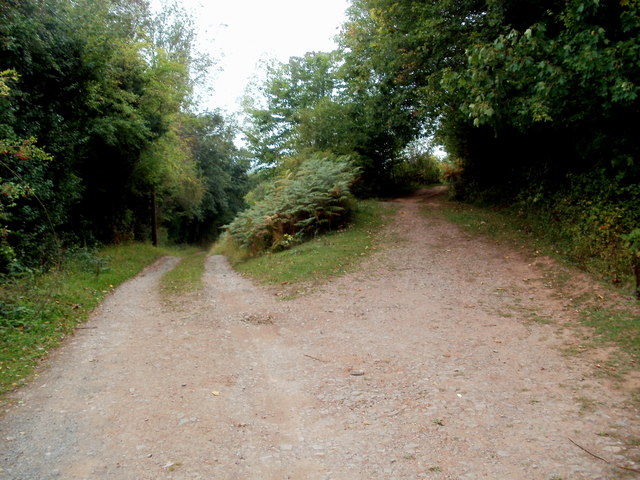
Image: © Jaggery Taken: 9 Sep 2011
Ewyas Harold Common covers an area of 50 hectares on a plateau above Herefordshire's Golden Valley. Its highest point is 164 metres (c538 feet) above mean sea level.
Images are licensed for reuse under creativecommons.org/licenses/by-sa/2.0
Image Location
Latitude
51.956742
Longitude
-2.890695