The Presbyterian Church and Vestry at Magheramason
Introduction
The photograph on this page of The Presbyterian Church and Vestry at Magheramason by Eric Jones as part of the Geograph project.
The Geograph project started in 2005 with the aim of publishing, organising and preserving representative images for every square kilometre of Great Britain, Ireland and the Isle of Man.

There are currently over 7.5m images from over 14,400 individuals and you can help contribute to the project by visiting https://www.geograph.org.uk
The Presbyterian Church and Vestry at Magheramason
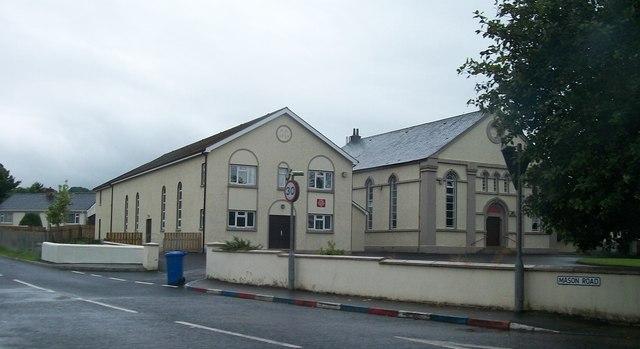
Image: © Eric Jones Taken: 23 Jul 2012
Magheramason is a largely Protestant and Loyalist community. The Presbyterian church built in the 1870s is the main hub of community life.
Images are licensed for reuse under creativecommons.org/licenses/by-sa/2.0
Image Location
Latitude
54.939364
Longitude
-7.384766