Woodland House, Rushpark, Newtownabbey
Introduction
The photograph on this page of Woodland House, Rushpark, Newtownabbey by Albert Bridge as part of the Geograph project.
The Geograph project started in 2005 with the aim of publishing, organising and preserving representative images for every square kilometre of Great Britain, Ireland and the Isle of Man.

There are currently over 7.5m images from over 14,400 individuals and you can help contribute to the project by visiting https://www.geograph.org.uk
Woodland House, Rushpark, Newtownabbey
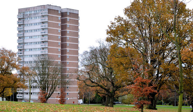
Image: © Albert Bridge Taken: 13 Nov 2012
Woodland House, one of the two tower blocks of Rushpark flats Image, in its setting amidst the landscaping perfected by the old Northern Ireland Housing Trust.
Images are licensed for reuse under creativecommons.org/licenses/by-sa/2.0
Image Location
Latitude
54.664394
Longitude
-5.906512