Site of Abbey Town station, 1991
Introduction
The photograph on this page of Site of Abbey Town station, 1991 by Ben Brooksbank as part of the Geograph project.
The Geograph project started in 2005 with the aim of publishing, organising and preserving representative images for every square kilometre of Great Britain, Ireland and the Isle of Man.

There are currently over 7.5m images from over 14,400 individuals and you can help contribute to the project by visiting https://www.geograph.org.uk
Site of Abbey Town station, 1991
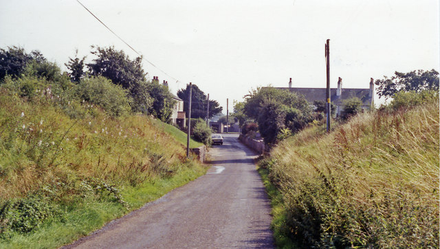
Image: © Ben Brooksbank Taken: 1 Sep 1991
Ex-NBR Carlisle (left) - Silloth (right) line, closed completely 7/9/64: the bridge abutments remain, the station having been up to the left and a mile further on had been Abbey Junction (see Image]).
Images are licensed for reuse under creativecommons.org/licenses/by-sa/2.0
Image Location
Latitude
54.845769
Longitude
-3.290502