On a path to Middle Tysoe
Introduction
The photograph on this page of On a path to Middle Tysoe by Peter Barr as part of the Geograph project.
The Geograph project started in 2005 with the aim of publishing, organising and preserving representative images for every square kilometre of Great Britain, Ireland and the Isle of Man.

There are currently over 7.5m images from over 14,400 individuals and you can help contribute to the project by visiting https://www.geograph.org.uk
On a path to Middle Tysoe
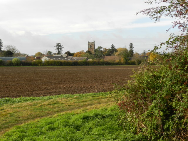
Image: © Peter Barr Taken: 10 Nov 2012
Lower is further north than Middle, which lies between Upper and Lower. This is Middle,which is smaller than Upper and larger than Lower. Middle England and its villages.
Images are licensed for reuse under creativecommons.org/licenses/by-sa/2.0
Image Location
Latitude
52.096353
Longitude
-1.502763