Ffaldcaiach and High Street houses, Trelewis
Introduction
The photograph on this page of Ffaldcaiach and High Street houses, Trelewis by Jaggery as part of the Geograph project.
The Geograph project started in 2005 with the aim of publishing, organising and preserving representative images for every square kilometre of Great Britain, Ireland and the Isle of Man.

There are currently over 7.5m images from over 14,400 individuals and you can help contribute to the project by visiting https://www.geograph.org.uk
Ffaldcaiach and High Street houses, Trelewis
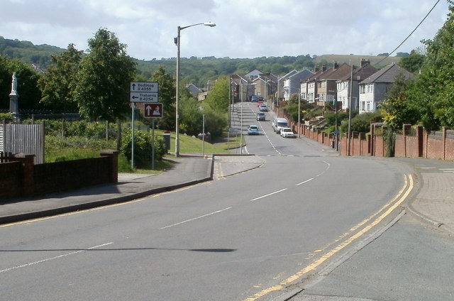
Image: © Jaggery Taken: 24 May 2011
A view north along the B4255 which is named Ffaldcaiach in the foreground and becomes High Street ahead, north of the Glyn Bargoed Road junction. http://www.geograph.org.uk/photo/3220825 At the left edge of the view is Trelewis War Memorial. http://www.geograph.org.uk/photo/3220797
Images are licensed for reuse under creativecommons.org/licenses/by-sa/2.0
Image Location
Latitude
51.665974
Longitude
-3.29548