Disputed footpath at A52 Sedgebrook
Introduction
The photograph on this page of Disputed footpath at A52 Sedgebrook by Ken Brockway as part of the Geograph project.
The Geograph project started in 2005 with the aim of publishing, organising and preserving representative images for every square kilometre of Great Britain, Ireland and the Isle of Man.

There are currently over 7.5m images from over 14,400 individuals and you can help contribute to the project by visiting https://www.geograph.org.uk
Disputed footpath at A52 Sedgebrook
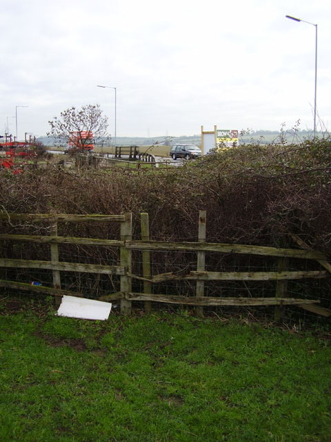
Image: © Ken Brockway Taken: 27 Jan 2007
Landowner said the path is now closed - thought those bad old days had long gone.
Images are licensed for reuse under creativecommons.org/licenses/by-sa/2.0
Image Location
Latitude
52.929819
Longitude
-0.721165