Wartime remains.
Introduction
The photograph on this page of Wartime remains. by Richard Williams as part of the Geograph project.
The Geograph project started in 2005 with the aim of publishing, organising and preserving representative images for every square kilometre of Great Britain, Ireland and the Isle of Man.

There are currently over 7.5m images from over 14,400 individuals and you can help contribute to the project by visiting https://www.geograph.org.uk
Wartime remains.
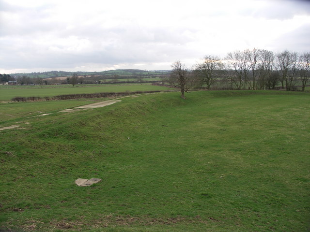
Image: © Richard Williams Taken: 27 Jan 2007
Feature consists of raised earthen banks with concrete roadways on top or maybe the top of exposed concrete blast walls. Possibly the remains of explosive storage area as the site is away from the main airfield, is isolated and shielded from any centre of population by high ground.
Images are licensed for reuse under creativecommons.org/licenses/by-sa/2.0
Image Location
Latitude
52.481104
Longitude
-0.948025