Aveley Underpass
Introduction
The photograph on this page of Aveley Underpass by David Anstiss as part of the Geograph project.
The Geograph project started in 2005 with the aim of publishing, organising and preserving representative images for every square kilometre of Great Britain, Ireland and the Isle of Man.

There are currently over 7.5m images from over 14,400 individuals and you can help contribute to the project by visiting https://www.geograph.org.uk
Aveley Underpass
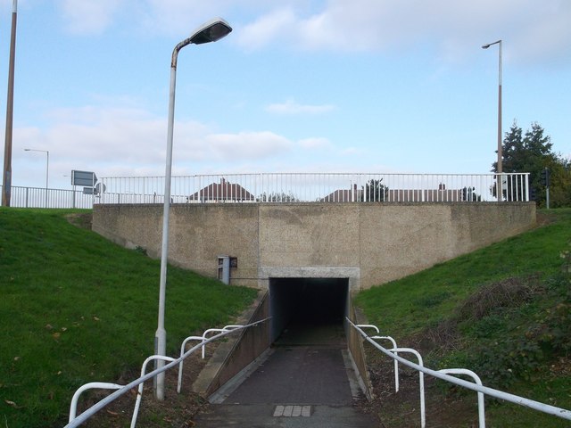
Image: © David Anstiss Taken: 7 Nov 2012
This foot tunnel leads from Mill Road towards Nethen Drive. It passes under the Aveley By-pass (the B1335).
Images are licensed for reuse under creativecommons.org/licenses/by-sa/2.0
Image Location
Latitude
51.504217
Longitude
0.247889